Land Information Systems
Welcome!
Waukesha County strives to provide the best resources to its Community Partners regarding Land Information Systems programs. Our goal is to have this page fit your needs. Please feel free to reach out to us at any time, if you have any questions or feel an additional resource is needed.
Thank you!
Have questions? Contact the Land Information Systems Office.
Geographic Information System
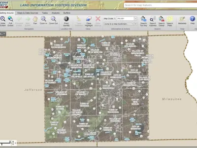
GIS Viewer
Welcome to the main GIS web map! This site allows you to visualize GIS data through interactive viewing interfaces
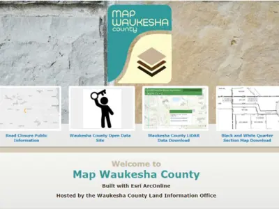
ArcGIS Online
Waukesha County's ArcOnline Organization page, with maps, apps, and data from a variety of GIS-enabled departments.
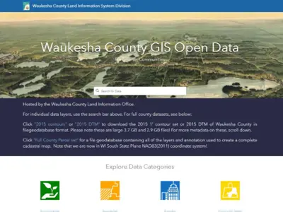
Open Data Portal
Search Waukesha County's public-facing GIS data and download in a variety of formats.
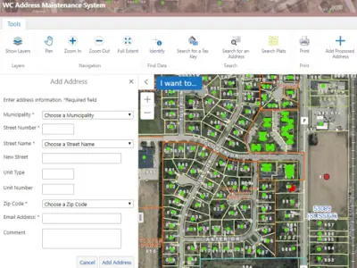
Address Maintenance System
Enter new address information on this easy-to-use map to notify a variety of County departments all at once. (Sign in required. Contact LIS staff for information on how to access the site).
Geographic Information System
One stop for road closure information from the County and participating municipalities due to long-term or short-term emergencies.
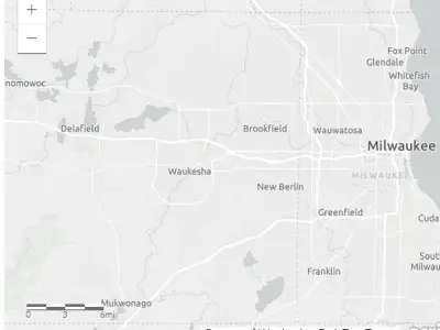
Road Closure App
One stop for road closure information from the County and participating municipalities due to long-term or short-term emergencies.
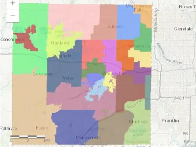
Who Is My Supervisor App
Find your County Board Supervisor by entering an app on the map, or view Supervisor District boundaries.


